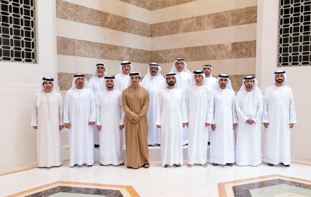
VP reviews findings of national survey of aerial mapping of agricultural areas

The UAE's Ministry of Climate Change and Environment, MoCCAE, announced the findings of the national survey of aerial mapping of agricultural areas using drones.
The scheme provides a wealth of raw data for analysis, such as the number and size of crops, livestock, and mixed farms as well as cooled and regular greenhouses, soil type and condition, and crop diseases.
Dr Thani bin Ahmed Al Zeyoudi, Minister of Climate Change and Environment, provided a detailed overview of the project results to His Highness Sheikh Mohammed bin Rashid Al Maktoum, Vice President, Prime Minister and Ruler of Dubai. In attendance were H.H. Sheikh Mansour bin Zayed Al Nahyan, Deputy Prime Minister and Minister of Presidential Affairs, and directors of municipalities across the country.
Dr Al Zeyoudi said two phases covering agricultural lands of 1,100 square kilometres have been completed so far which gathered statistical data and information of 51 categories in six emirates.

